Marina
SCYC Marina
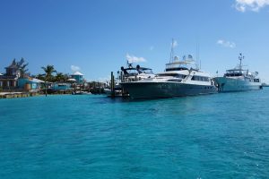
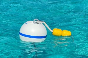
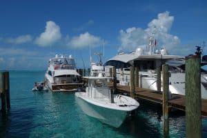
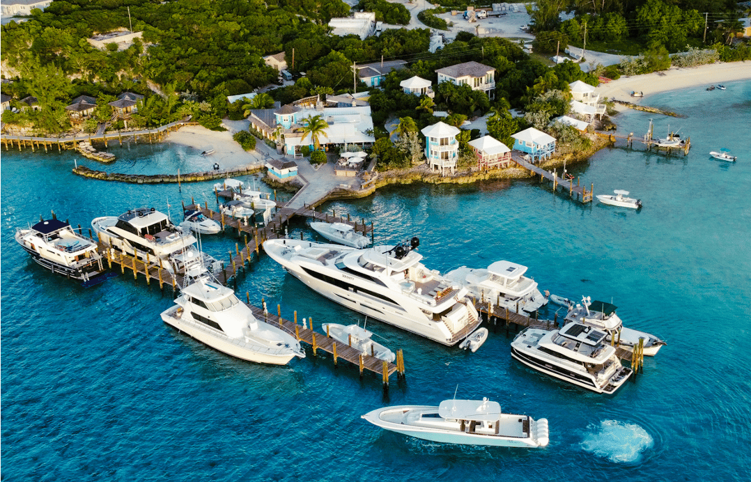
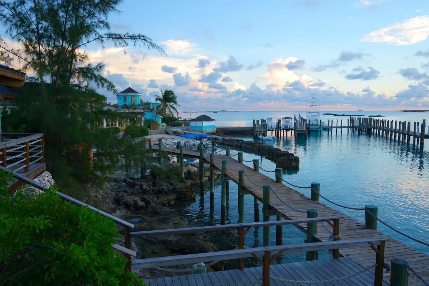
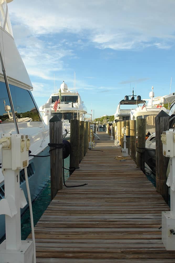
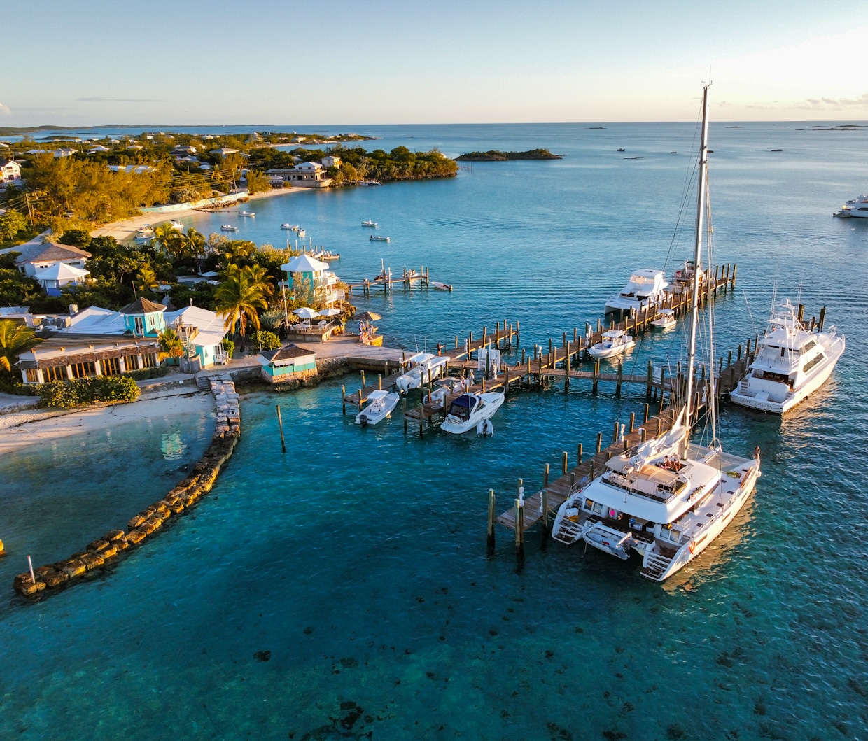
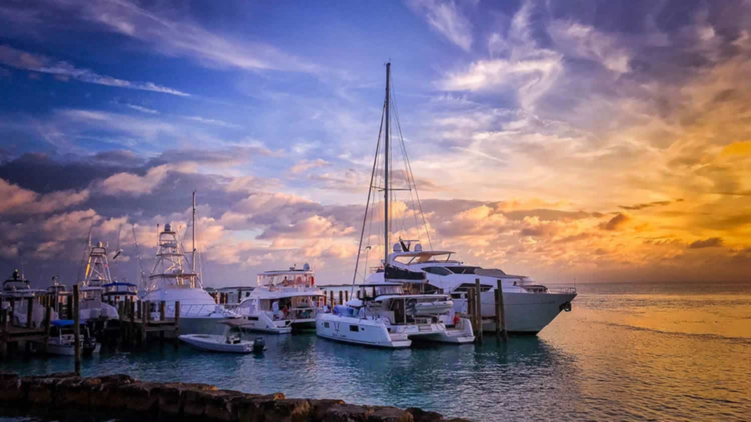
Even at low tide, the dock can accommodate drafts up to 12 feet and yachts up to 210 feet. Our newly renovated marina offers fuel, electricity (single and three-phase), fresh RO water, ice, bait, etc. We have 18 secure slips that accommodate center consoles to mega-yachts. The club also offers 21 mooring balls for daily/nightly rental.
Contact us to make a reservation:
marina@stanielcay.com | 242-355-2024 or 954-833-2100| VHF Ch. 16
Click here if you are interested in utilizing our professionally anchored moorings.
Please Note: Marina reservations require travel visas AND negative COVID test results. Please click here for COVID-related travel information.
Marina Dockage Rates*
| Dates | Over 100 Feet | Under 100 Feet |
|---|---|---|
| January 9 to March 9 | $4.50 | $3.50 |
| March 10 to April 16 | $5.50 | $4.50 |
| April 17 to May 25 | $4.50 | $3.50 |
| May 26 to August 10 | $5.50 | $4.50 |
| August 11 to Sept. 9 | $4.50 | $3.50 |
| Sept. 10 to Nov. 19 | $3.50 | $2.50 |
| Nov. 20 to Dec. 15 | $4.50 | $3.50 |
| Dec. 16 to Jan. 8 | $5.50 | $4.50 |
All prices subject to change without notice.
Electric: $1.20 per kwh. 30, 50, and 100 amp service available. Daily minimums apply. Single and Three-phase available.
Water: $0.40/gallon.
We sell water purified and ozonated by an on-site Watermakers, Inc. reverse osmosis system. This water is never mingled with rainwater, city water, or any other type of water.

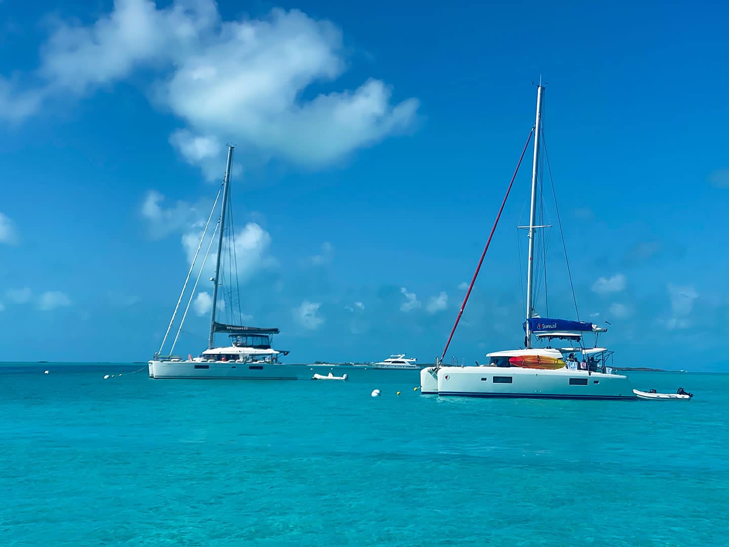
Mooring Rates*
| Vessel Length | Nightly Rate** | Partial Day Rate (not overnight)*** |
|---|---|---|
| Less than 50’ | $44 | $28. |
| 50’ – 65’ | $55 | $44 |
| Over 65' | $77 | $60 |
| **Payment for nightly stays is good until 11 a.m. the following day. | ***Max 2 hours. Over 2 hours must pay the overnight rate. |

Marina Information
Dock Map
Click here for a dock map.
Ice and Bait
Ice $7/bag. Bait (rigged ballyhoo and squid) is available.
Internet
Internet: Available in the Clubhouse for registered Marina and Hotel guests (complimentary).
Trash
Trash charges are $8/bag (+tax). All trash should be put in the designated trailer behind the clubhouse. Please DO NOT leave trash bags in any other area on the dock or property. Please alert our staff as to the number of bags you dispose of so that the applicable charges can be billed.
Fuel Dock
FUEL DOCK
Open 8 a.m. to 5 p.m. daily. Separate, dedicated fuel dock with high-speed pumps.
Checkout
Checkout: 10:00 a.m.
Late checkouts (after 11:00 a.m.) will be billed another day dockage and electric or mooring.
Day Trips
Day Trips: If you leave the dock for a day trip, and return later, you may or may not have exactly the same slip. In this instance, dock hands will assist with the movement of lines, fenders, new water/electric readings, etc. As our docks are “side-to” rather than back-in slips, changes in arrivals and departures involving yachts of different sizes sometimes necessitate such slip changes.
Information For Foreign Boats Entering Bahamaian Waters
INFORMATION FOR FOREIGN BOATS ENTERING BAHAMIAN WATERS AS OF JANUARY 1, 2020
- Boats up to 34 feet: $150
- Boats 35-99 feet: $300
- Boats 100-149 feet: $500
- Boats 150-200 feet: $800
- Boats over 200 feet: $1,000
- Boats up to 34 feet: $300 annually
- Boats 35-99 feet: $600 annually
- Boats 100-149 feet: $1,000 annually
- Boats over 150 – 200 feet: $1,600 annually
- Boats over 200 feet: $2,000 annually
For additional information, please visit the official Bahamas website at https://www.bahamas.com/faq/enteringexiting-policies
Marina Policies
SCYC Marina Rules and Policies
Dockage: SCYC cannot guarantee a particular slip, even with a reservation. However, we will do our best to accommodate requests. Dockage may be at either our South Dock (the main dock) or our North Dock (the fuel dock). Dockage Rates are based on the length of the vessel including swim platform and bow spread, not the length of the vessel at the waterline. Rates do not change if part of a vessel extends beyond the end of the dock. Rafted boats (if permitted by management) do not receive discounted rates.
Day Trips: If you leave the dock for a day trip, and return later, you may or may not have exactly the same slip. In this instance, dock hands will assist with movement of lines, fenders, new water/electric readings, etc. As out docks are “side-to” rather than back-in slips, changes in arrivals and departures involving yachts of different sizes sometimes necessitate such slip changes.
Changing slips while staying in the marina: Again, due to the “side-to” nature of our marina, sometimes we must ask a marina customer to shift to a different slip. This is done only so that we can accommodate other customers and all efforts are made to minimize such moves. But sometimes they are necessary and our dock hands will assist in this instance to minimize the inconvenience.
Electric Charges: Electricity is metered. If a reading is not taken at the time of tie up and plug-in, you will be billed at the prevailing, minimum daily rates depending on the size of the plug, and the phase of the power. Three-phase power will be billed at a 30% premium over the prevailing single-phase flat rate. In the case where a meter has malfunctioned and not advanced, the flat daily rate will also apply. Electricity rates (per kwh) may change without notice.
Late Check-outs: Check-out time is 11 a.m. Check-in time is 2 p.m. Late check-outs, are sometimes but not always possible, AND must be approved in advance by management. Late checkouts, if approved, are billed another day dockage.
Water Charges: Our water is metered. Please make sure a dock hand takes a beginning reading before you use water. All water is purified by an on-site Watermakers, Inc desalination plant and ozonated. It is never mingled with rainwater, well water, or any other source of water.
Damage to Dock: Any damage to the docks caused by a vessel will be the responsibility of the vessel involved. If tide or weather conditions are questionable, it is the captain’s responsibility to make this determination. Damage to the facility will be charged to the boat which causes the damage at local replacement cost.
Damage to Vessels while docking or while docked: SCYC is never responsible for damage that occurs to Vessels or tenders while docked or in the process of docking. Among other factors, strong current and changing winds can cause fenders to shift. Also, unpredictable changes in wind direction might cause rough conditions at the dock. Broken planks, protruding bolts, etc. (while addressed by our staff as soon as we see the issue) can periodically present a hazard to gelcoats and rubrails. It is the responsibility of the captain of the vessel to check for such hazards and make the necessary adjustments in handling or securing the vessel such as to avoid them. Adjustments to lines and fenders are often necessary during the course of any stay and should be checked frequently.
Drone Use
Drone Use: Due to privacy and safety concerns, drone use is strictly prohibited anywhere on and around the property and docks at SCYC. By law, use of drones anywhere in the Bahamas requires a special permit and registration with Bahamas Civil Aviation. See Bahamas drone policy BASR Schedule 27 for more information.
Fishing
Fishing: Absolutely no fishing is permitted in the marina area … either from the dock or from vessels tied to the dock. The nurse sharks are pets. Any person or vessel seen harassing them will be asked to leave. Please note: by Bahamian law, nothing may be taken from the Exuma Cays Land and Sea Park waters and this includes fishing of any kind. All guests are responsible for knowing Bahamian fishing regulations (click here for more information).
If you enjoy fishing, this is the place to be. Bonefish out at Harvey Cay or in Pipe Creek, both just a few minutes away. For deep-sea fishing, the expansive water of the Exuma Sound is full of grouper, snapper, dolphin, tuna and more. For the fit and adventurous, try free-diving and spear-fishing for lobster and grouper. Please note: by Bahamian law, nothing may be taken from the Exuma Cays Land and Sea Park waters and this includes fishing of any kind. All guests are responsible for knowing Bahamian fishing regulations (listed below).
For kids, try bottom fishing for snappers and other smaller fish. They will enjoy non-stop action during this unforgettable experience.
Information on Bahamian Fishing Regulations
Guide to Bahamian Fisheries Regulations (Booklet)
Summary of Fishing Regulations of the Bahamas
Bahamian Department of Marine Resources Forms
Information on Bahamian Customs & Ports of Entry
Weather
Weather: Because SCYC docks are exposed to the west, it may become necessary to vacate the docks in the event of strong west/northwest winds. Management will do its best to give notice when this is forecast. For your convenience, SCYC posts Chris Parker’s 3-4 day weather forecast in the clubhouse every day (except Sunday). We also post the Windfinder forecast. Please ask at the bar if you do not see that day’s forecasts posted.
Hurricane Policy
Hurricane Policy
At Staniel Cay Yacht Club, we understand that travel plans can be affected by unforeseen weather events, particularly during hurricane season. To provide peace of mind to our guests, we have implemented the following:
If a named storm impacts your travel plans, we will allow you to cancel and reschedule your stay to any available future date within one year of your original booking, based upon availability. No rebooking fees will be charged, although rates may vary based on the new travel dates and seasonal pricing. However, please note that 100% of your original value will be retained with the new booking.
Applicability: This cancellation policy applies to bookings made during periods when a Hurricane or Tropical Storm Warning (ie, a “named storm”) has been issued for the Exuma Cays by the National Hurricane Center (NHC). It does not apply to periods of rainy or windy weather, “tropical lows”, or routine adverse weather.
Travel Insurance
We strongly encourage all guests traveling during Hurricane season to purchase travel insurance at the time of booking, as hurricanes and other weather-related disruptions are often covered by most plans. We suggest “Cancel for Any Reason” travel insurance through Rental Guardian, however we encourage any such travel insurance ( Click here to learn more about Rental Guardian travel insurance)
Credit for Future Stay
If you are unable to select new travel dates at the time of the storm warning, we will issue a voucher for the value of your deposit. As a guest who has been unfortunately impacted by a weather event, you will be given priority wherever possible in the rebooking process. Your voucher can be applied toward any future stay, with travel to be completed within one year from the original booking date. Again, no rebooking fees will be charged, although rates may vary based on the new travel dates and seasonal pricing.
Request Process
To reschedule your stay or request a credit voucher, please submit a written request to info@stanielcay.com at least 48 hours prior to your check-in. We understand that in the case of a major hurricane approaching the Exuma Cays, there will likely be communication a week in advance. However, the 48-hour notice is specifically for submitting your formal written request. All requests must be confirmed in writing before any changes can be made to your reservation.
No Refunds
As mentioned above, we do not offer refunds due to named storms. We only offer full credit towards a future stay. Travel insurance is the only way to ensure a refund should you choose.
Grilling
Grilling: Grilling on the North Dock (fuel dock) is not permitted, either on board or on the dock itself. Grilling on your boat on the South Dock (main dock) is permitted, provided that the smoke is not a nuisance to neighbors. If you grill, please monitor wind conditions and be considerate of your neighbors and very conscious of any tenders/gasoline nearby.
Music
Music: Loud music is not permitted at the marina (or anywhere on SCYC property). Music played at a low level is fine. As a rule, music is defined as “too loud” if your neighbors can a) hear it and/or b) might possibly be bothered by it.
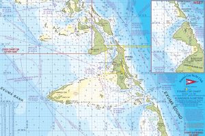
Land and Sea Park Boundaries
|
(Ensure you use the right coordinates based on your GPS setup) |
|||
| In Degrees / Minutes / Seconds | In Degrees / Thousandths of a Minute | ||
| NW corner: | Lat 24 deg 30′ 37″ N Long 76 deg 52′ 37″ W 7.87 NM, Hdg 058 deg T to |
NW corner: | Lat 24.30.617 N Long 46.52.617 7.87 NM, Hdg 058 deg T to |
| NE corner: | Lat 24 deg 35′ 30″ N Long 76 deg 45′ 50″ W 22.92 NM, Hdg 143 deg T to |
NE corner: | Lat 24.35.500 N Long 76.45.833 W 22.92 NM, Hdg 143 deg T to |
| SE corner: | Lat 24 deg 18′ 37″ N Long 76 deg 28′ 47″ W 7.84 NM, Hdg 246 deg T to |
SE corner: | Lat 24.18.617 N Long 76.28.783 W 7.84 NM, Hdg 276 deg T to |
| SW corner: | Lat 24 deg 14′ 25″ N Long 76 deg 36′ 02″ W 22.14 NM, Hdg 323 deg T back to NW corner |
SW corner: | Lat 24.14.417 N Long 76.36.033 W 22.14 NM, Hdg 323 deg T back to NW corner |

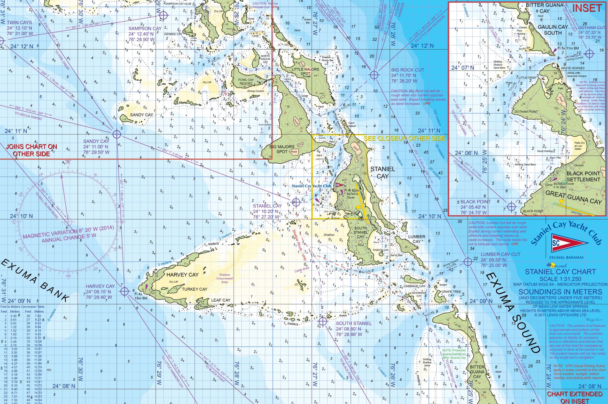
Nautical Chart

